Aero Control 2
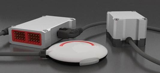
Professional UAV Auto Pilot Ground Station
AC2 ground station system is built on an upgrade from AC1’S fourth generation helicopter autopilot products, and ground control software (GCS). It has all the features of AC1, while providing the advanced reliability and flight stability core modules. Precise flight positioning, high mobility and ease of use, together with the aid of the advanced industry professional level ground station system, upgrades the unmanned helicopter system into a fully automated aerial work platform, with applications in specialized professions, including various industrial operations.
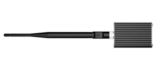
Reliable Datalink
offers 2.4Ghz and 900MHz datalink to achieve long-range two-way communication. The datalink maximum distance is up to 15km. The ground end also links with USB power supply that is convenient for outdoor use. The wireless module uses FHSS technology which is verified by FCC and CE certification, datalink has many advantages such as: high data rate, stable performance, strong anti-interference capability, and long communication distance. The 2.4GHz datalink’s power consumption is 550mw and 900MHz datalink 1.5W, which is big advantage for long-distance flight missions.
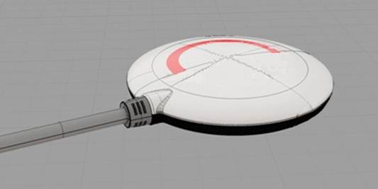
Quick GPS Acquisition / Simple Compass Calibration
System design and use of high grade components enables fast GPS acquisition time. Compass calibration with 45° tolerance is easier and faster than previous models.
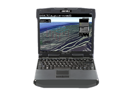
PC Ground Station Features
- User-friendly interface
- Google 3D Map
- Industrial Flight Control Algorithm
- Real-time flight Monitoring
- Failsafe Auto Returning/ One Key Go Home
- Keyboard/ Joystick Mode
- Click&Go
- BVR automatic flight
- Auto Takeoff/ Landing
- customize waypoints
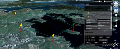
User-friendly interface
emphasises the principle of user friendliness in all designs, the ground station offers 3D graphic interface, a breakthrough from traditional UAV system with ease of installation, less complexity and ease of operation in comparison to others in the market. ground station control can save time, improve operation efficiency, ease mission planning supporting flexible and intelligent control for any mission.
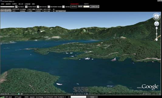
Google 3D Map
Ground Station designed around intuitive Google 3D map offering GIS data. Pilot can operate and plan flight routes anywhere, use PC mouse to zoom in/out of 3D Maps which can be downloaded to PC and used elsewhere in offline mode.
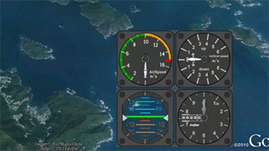
Real-time flight Monitoring
In addition to the aircraft location, heading and altitude, our ground station also provides other flight data such as attitude, air speed, vertical speed, throttle and pitch percentage and servo voltage at all times.
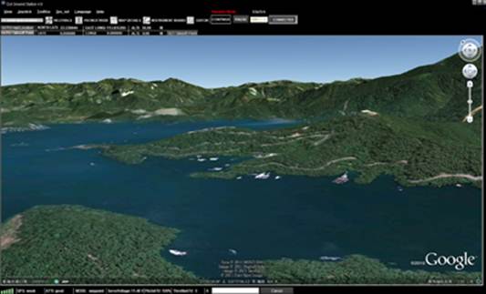
customize waypoints
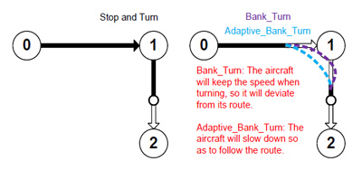
Users can carry out special settings, such as height, latitude and longitude, flight speed, the nose toward, the turning patterns and residence time etc. User can batch for all destinations, by setting once if required.
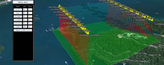
6 preset route templates
Ground Station provides 6 types of pre-set route templates which are default settings that can assist in completing a mission quickly, in a designated area with set height. The size of coordinates for the mission area, the number of waypoints in the region, the waypoint properties, etc. can be customized. Those templates can be especially applied for vertical photography, precise mapping, spraying agriculture and other industries.
Custom Servo Channel Control
autopilot system provides two servo outputs to support custom servo feature. These two outputs can be used between the controller and or 3rd party devices. These outputs for example can be used for camera shutter operation, air-drop activation or other switching devices.
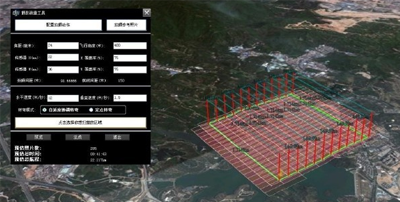
Photogrammetry tool
Photogrammetry tool can be used with aerial photography waypoint system in producing professional and accurate mapping. Thus, simplifies flight mission; a "must have" package for the professional photographer.